Reconnaissance is a preliminary study of the area. It is advisable to perform it after selecting the area according to basic cartographic sources. Before the study, a topo base is prepared. At the same time, a larger area is captured than the study area. Let us further consider how and why reconnaissance of the terrain in geodesy is carried out.
General information
The reconnaissance provides a clear definition of the area to be mapped. In this case, the performers take into account:
- Actual condition of access roads.
- The value of the territory for orientation.
- Rational configuration of the working field on the map.
Specificity
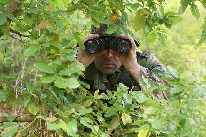
Geodesy of the site involves the implementation of various works. During the study of the territory, the head of the executive group should have an idea of the territory and its landscape features. It is recommended to apply a scheme of open large spaces (pastures, clearings, etc.), clearings, power lines, roads to the photo from a topobase (reduced to a size of 1: 20,000). By area, a generalized characteristic is given. The territory is described in terms of the complexity of mapping and the interest of orientation. As a rule, these parameters are directly proportional. The site’s geodesy also involves assessing the patency of vegetation, bogs, etc. At this stage, generalization criteria for different landscape components are usually formed, and they are divided by gradation. The team leader decides to transfer micro-objects to the map. If cross country is to be studied, it is advisable to carry out joint adjustment of a small area by all contractors. This will allow us to develop a unified approach to the mapping and selection of the boundaries of generalization. The results will be used in the basis of TK. The idea of the nature of the territory ( rough terrain , marshy area, etc.) will allow us to correctly assess the complexity of subsequent activities and develop their real schedule.
Topobase quality
His assessment is an important task of the work. Reconnaissance of the area is carried out in parallel with the analysis of the quality of the topographic base. In this case, mainly the visual method is used. But for strict accuracy, it is recommended to perform several control measurements. It is advisable to combine this procedure with the recognition of points to which the elevations are indicated on the topobase, as well as the determination of heights for horizontal surfaces present on the territory.
Measurements
For lowland rivers and lakes, a difference of no more than 0.3 5-meter section will be considered satisfactory. In such a situation, the arithmetic mean of the measurements can act as the surface height. If the survey of the area shows a difference in the heights of the points of the swamp greater than 1, and this parameter is consistent with the nature of the relief, the object is not horizontal. Accordingly, the surface cannot be used as a base for leveling. When using water edges, it must be remembered that their indicators correspond to the lowest level. Their measurement is made in August.
Topographic Nuances
The reconnaissance of the terrain should ensure the formation of a complete idea of which points, contours and linear landmarks can be used as solid parameters. They are called points that have a reliable high-altitude, planned (or both) position within the accuracy of the basic cartographic material. Obviously, the reconnaissance of the terrain does not allow us to evaluate all points and landmarks and to establish whether they are all solid or not. First, such marks are checked for which a reliable position is more likely (in accordance with the nature of the creation and the properties of the topobase).
Additionally
During the reconnaissance of the area, a decision is made on the need for the formation of a shooting justification. If it needs to be created, then its type is determined. A plan is also drawn up for its laying in the territory, solid marks are selected, to which the rationale will be attached. The survey results are drawn up with a work card. Descriptions of objects and schemes are applied to it. It is advisable to reflect some of the information on the original topobase. Hard marks can be affixed in red. If necessary, it is allowed to use symbols (numeric or alphabetic). Some information can be reflected in the help.
Warfare
Reconnaissance is performed to clarify the decision made on the map. For the planned implementation of activities, the headquarters must work out their plan in advance. For this, the commander of the regiment (division) gives instructions to the chief about the procedure and time of work in the territory. They determine:
- Beginning and end of reconnaissance.
- Points of accomplishment and tasks that will be solved on them.
- Responsible employees who will be involved in the work, the composition of other groups.
- Dates for the preparation and presentation of the plan.
Course of events
In the process of the survey, the terrain in the offensive zone is studied. The commander evaluates its impact on the implementation of combat missions. In addition, he clarifies:
- The presence and features of obstacles and barriers.
- The front defensive edge of the enemy.
- Strong points.
- Location of fire weapons, anti-tank reserves.
- Open flanks.
- Weak and strong sections of defense.
- Offensive lane.
- Breakthrough plots.
- The direction of the main blow.
- Lines demarcating the location of the regiments.
- Expectant and starting position.
- Frontiers of deployment, safe removal, transition to the attack, etc.
Features of preparation
The rules for conducting reconnaissance, the content and the number of issues to be resolved in the course of work will depend on the availability of the necessary time and other conditions. After the group arrives in the territory, the commander performs tactical and topographical orientation. He assigns marks on the lines in depth and from right to left. In the course of tactical orientation, the commander can hear reports of the commander in front of the current unit, the chief of intelligence on the enemy’s position. After this, a consistent solution to the tasks set begins. When conducting reconnaissance, the commander is assisted by the chief of staff or his deputy. After completing activities, he leaves for subordinates. If units are limited in time, reconnaissance can be carried out from two points simultaneously. In such a situation, the commander exercises it in the direction of the main strike. The deputy commander responsible for the rear may conduct reconnaissance in the area of the future location of the units.