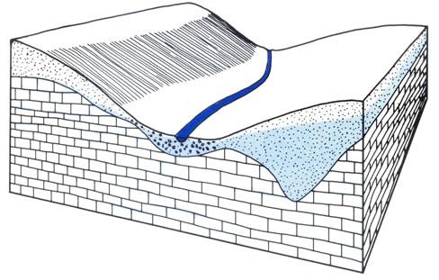
Geological studies include the study of the geological and tectonic structure of large regions (districts, work areas). In the course of research, stratigraphy (the sequence of occurrence of geological formations), the genesis (origin) and age of the rocks that make up the shell of the earth's hens at the site of research are clarified.
The results of these studies are expressed as geological maps. The geological map displays in a graphical form on a topographic basis, on a certain scale, the geological structure of the crust in a horizontal plane in a particular studied place. The map contains the full amount of actual geological information. Geological sections are extremely important in areas where
rocks from above are covered by a thick soil and plant layer, modern anthropogenic formations.
The geological section represents in graphical form a vertical section of the earth's crust to a depth uncovered by wells or mine workings. It is a mandatory addition to the geological map. The geological section illuminates the lithological section of the studied sequence, the thickness of the layers, their position, the structure of geological bodies, the age of the rocks, the position of the groundwater level.
To obtain undistorted information of the geological structure in relation to the terrain, the values of the horizontal (map scale) and vertical (section scale) scales should be the same. But for the design of construction objects (roads, dams, buildings), the vertical scale of the geological section is increased tens, hundreds of times.
A geological section is built along the section line drawn on the map across the strike (across) the geological structures. The line is drawn along the points that depict the wells on the map. For more complete information about the geological structure of the earth's crust in the study area, the line of the geological section may be broken.
To construct a section, first on a graph paper they reconstruct a topographic profile, demolishing characteristic elevations. The average height of the region is determined and a horizontal (zero) line is drawn along this height. The location of the wells is applied to the profile and the perpendiculars are lowered through these points to the zero line. Each perpendicular is a line on which to display the geological section of the well using its documentation. Points are also plotted on the cut line for which there is documentation in the form of descriptions of the natural outcrops of the earth's crust. Then a geological section is built, connecting the boundary lines (soles and roofs) of rock layers of the same lithology and age. To build a geological section correctly, carefully study the map, determining the structural elements, the type of occurrence of rocks, discontinuous violations.
The engineering-geological section differs from the geological section in that additional information that characterizes the physical and mechanical properties of soils and the dynamics of processes. For the engineering assessment of territories for the construction of buildings, it is necessary not only geological information with rock characteristics about their strength, water cut, but also information about changes in the geological environment - processes and phenomena occurring in the territory: frost heap, karst formation, landslide processes, the spread of specific of soils, groundwater regime, salinity of soils, corrosion activity of soils and groundwaters to concrete, steel and much more. As a result of engineering and geological surveys, those measures are determined that must be taken for the stability and durability of the structures being constructed.